Notley Maddox Cemetery
Photos and information submitted by Buck Seibert 28 July 2013
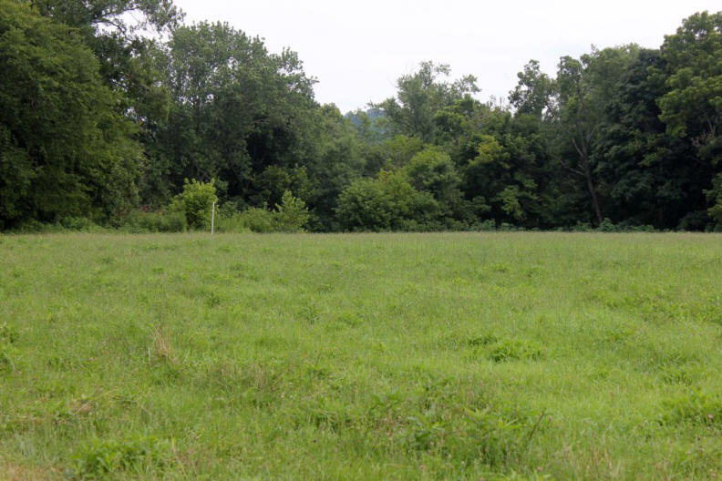
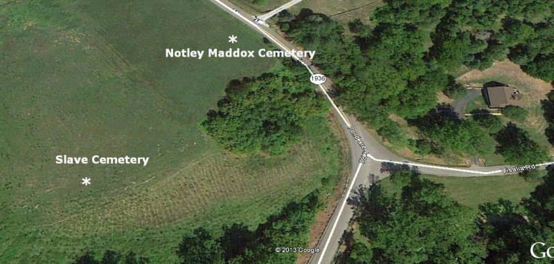
On Pond Creek Road and near the intersection of Visalia Road there are two cemeteries. All the headstones are now gone and the area has been farm land for many years. A lifelong resident on the property, Ken Rahe, met me there on July 26, 2013 to point out where the cemeteries were located.
The property was once part of the large farm of Notley Maddox and his family cemetery is located on a small rise between Pond Creek Road and the Licking River. GPS co-ordinates are 38 degrees 54 minutes and 34 seconds North and 084 degrees 26 minutes and 15 seconds West. A Slave Cemetery was located several hundred feet away and closer to the river. Mr. Rahe said at one time there was an old cedar tree there and the graves were in a circle around the tree. Co-ordinates are 38 degrees 54 minutes and 30 seconds North and 084 degrees 26 minutes and 22 seconds West.