
Placenames
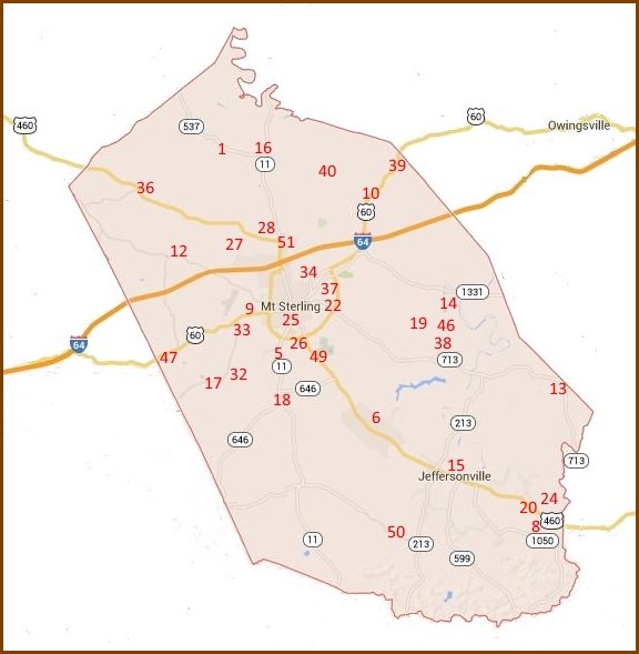
This placename map is a work in progress.
- Aarons Run - 6 miles northwest
- Bean - 8 miles southeast
- Bogy
- Chennault - 2 miles southeast
- Calk - 1 mile south
- Camargo - 5 miles southeast
- Camp Branch
- County Alms House - 9 miles southeast
- Cherrywood - 2 miles west
- Ewington - 3 miles northeast
- Forest Home - 4 miles northwest
- Grassy Lick - 5 miles northwest
- Hope - 8 miles southeast
- Howards Mill - 5 miles east
- Jeffersonville - 7 miles southeast
- Judy - 5 miles north
- Klondike - 7 miles southwest
- Levee - 6 miles south
- Lower Spencer - 6 miles southeast
- Lucky Stop - 9 miles southeast
- Magnolia Balm - 3 miles southeast
- Magowan - 1 mile east
- Maplewood - 3 miles east
- Montaview - 9 miles southeast
- Mount Sterling - junction of I-64 and US 460
- New Market - 1 mile south
- Old Fort - 5 miles northwest on Grassy Lick Cr.
- Old Indian Battleground - 1 mile north
- Penton
- Pine Hill
- Plum Lick - 7 miles northwest
- Prewitt - 3 miles southwest
- Reid Village - 2 miles west
- Rosedale - 1 mile northeast
- Salem - 8 miles southeast
- Sideview - 6 miles northwest
- Smithville - 1 mile east
- Spencer Village - 6 miles southeast
- Stepstone - 6 miles northeast
- Stoops - 5 miles north
- Toll House - Owingsville Pike 1 mile northeast
- Toll House - Lick Pike 4 miles northwest
- Toll House - Spencer Pike 5 miles southeast
- Toll House - Owingsville Middleton Pike 9 miles northwest
- Trimble
- Upper Spencer - 6 miles southeast
- Wades Mill - 4 miles southwest
- Walkers Crossing - 7 miles southeast
- Walnut Grove - 1 mile north
- Willoughby - 8 miles south
- Woodland Park - 1 mile north
Sources: 1818 Map of Kentucky, 1879 Map of Montgomery Co., 1937 Highway and Transportation Map of Montgomery Co. and 1950 Highway and Transportation Map of Montgomery Co.
The following historic placenames are from the Robert M. Rennick Manuscript Collection at Morehead State University.
Montgomery County Placenames
Bath County Placenames (Bath was part of Montgomery 1797 to 1811)
Clark County Placenames (Montgomery was part of Clark 1792 to 1797)
The following placenames are from the US Geological Service's database of places.
One of the benefits of this database is the ability to copy & paste the Latitude and Longitude coordinates into Google Maps and see exactly where the place is located. Another nice feature is the coordinates are shown for the "source" aka "headwaters" of a stream.
Contacts

| Marvin Allen |
| Suzanne Shephard |
| Jeff Kemp |