|
|
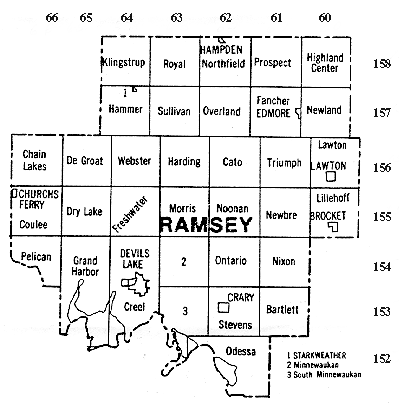
Township Maps Early censuses give the town and range numbers rather than township names. To correlate these numbers to the names later given to the townships use this map. the numbers down the right side are the town numbers and the numbers across the top are the range numbers. The township name can be read at their intersection. Town and range numbers were also used on homestead applications. So knowing these numbers can quickly lead to the general location of old family homesteads. To pinpoint locations, county plat maps can be obtained from the Register of Deeds.
Towns and Communities in Ramsey County
|