Kearney County NEGenWeb Project
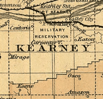
| 1876 Map of the state of Nebraska showing the lands of the Burlington & Missouri Riv. R.R. Co. in Nebraska. | 1876 Kearney Co. RR map |
| Cram's rail road and township map of Nebraska. Chicago, 1879, c1878. |
Cram's 1878 RR & TS map |
| 1879 Map of Nebraska showing the Union Pacific Railroad land grant. |
1879 U. P. R. R. land |
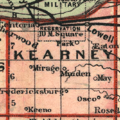
| Map of Nebraska published by the Burlington Route 1886. Compiled from the official records of the government and rail road offices. | 1886 Burlington Route map |
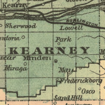
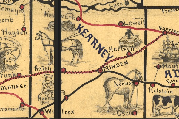
| 1889 RR map From a Railway map of Nebraska issued by State Board of Transportation 1889. |
1889 Kearney Co. RR map |
| Galbraith's railway mail service map. - 1898 Showing routes and post offices of the Railway Mail Service. | 1898 Railway_Mail_Service_Map |