
|
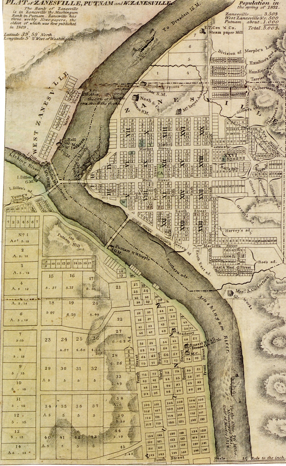
This map is from a very large hand drawn plat map of Muskingum county and is contributed to the Muskingum County Township Project by Doug Kreis. |

This township is part of the Muskingum County Township Project, and is maintained by Denny Shirer
Last Revised: March 3, 2004
© 1997 - 2006 Denny Shirer for Zanesville Township, Muskingum County, OHGW