| TO HOMEPAGE | ||
County Maps |
||
| ON THIS SITE | ||
|
Map of Denton |
Plat Maps | |
| County Map 1800-1820 | Counties of Maryland | |
| ON OTHER WEBSITES | ||
| Use you browsers back button to return to this page after visiting any of the following sites. | ||
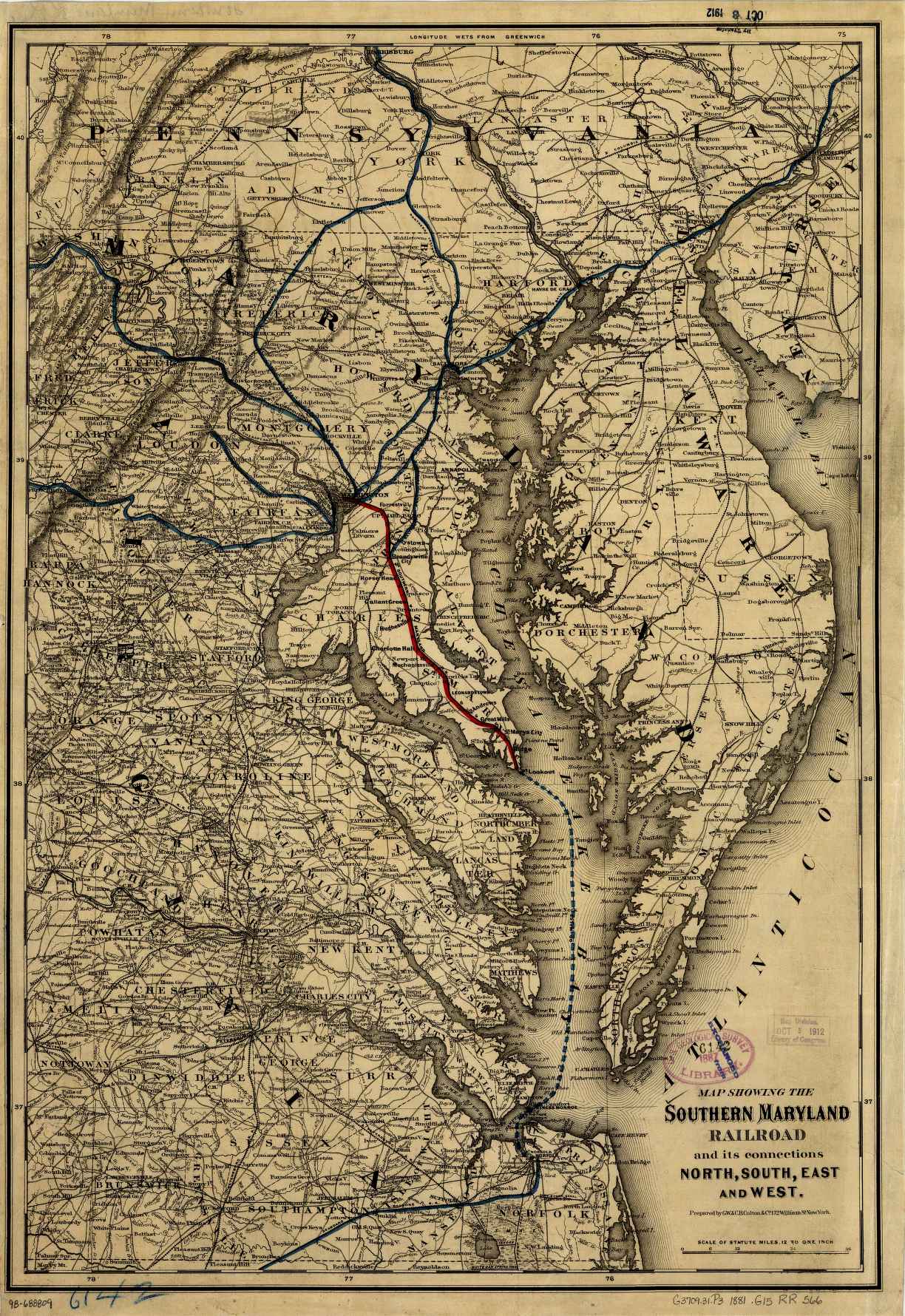
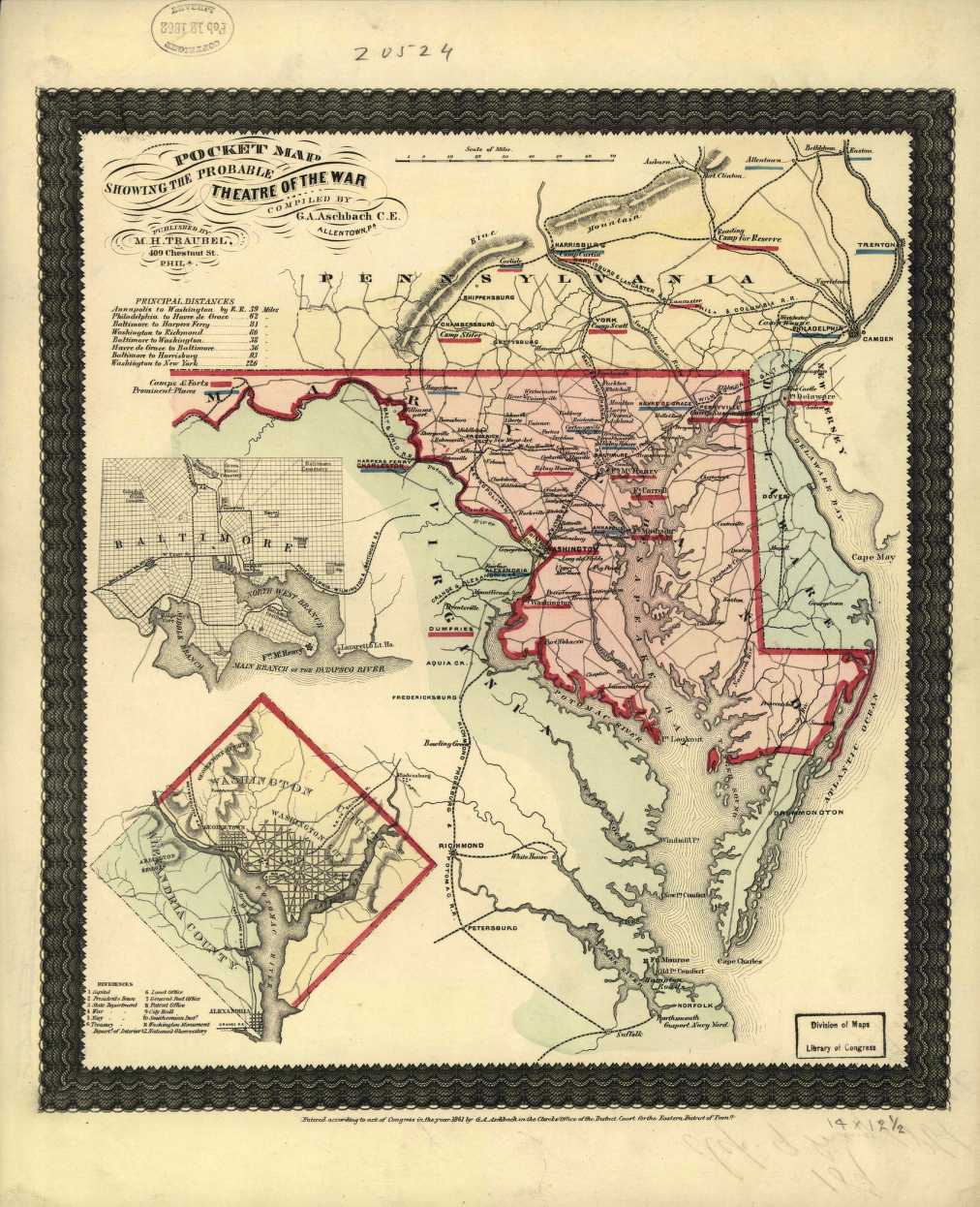
| Southern Maryland Railroad Map circa 1881 | Pocket Map Showing the Probable Theater of War circa 1861 | |
| 1875 County Map Has land owners names | 1897 Caroline County Map Land Owners, Churches, Schools, etc. | |
| Last Updated: January 2021 | ||