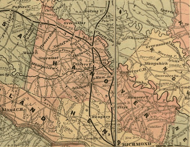
Map of Hanover County
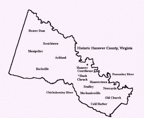
Hanover Locations
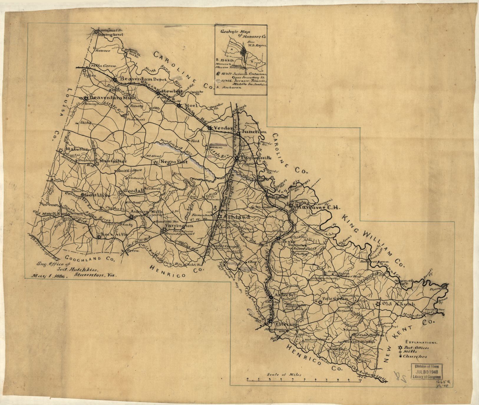
1886 Hanover Map
| MAIN PAGE |
MapsAnd Information |
PREVIOUS PAGE |
|
Maps available on the
USGenWeb Archives Digital Map Library: Virginia 1624 Map Native American Tribes and their locations. Virginia 1751 Map Drawn by Joshua Fry and Peter Jefferson in 1751. Illustrated Map of Historic Norfolk, Virginia. Copyright, Bank of America Corporate Archives. (Not for commercial use or reproduction without permission.) Virginia 1861 Map. Washington to Bull Run. Drawn under the supervision of C.H. Ambler. From the Atlas of American History, 1943. By James Truslow Adams, published by Charles Scribner’s Sons. Military Map of Suffolk and Vicinity."Atlas to Accompany the Official Records of the Union and Confederate Armies, 1861-1865. Julius Bien & Co., NY, 1894. Gray's New Map of Norfolk, Portsmouth and Berkley. Drawn from special surveys 1877. Sketch Book of Portsmouth, Virginia, Its People And Its Trade. by Edward Pollock, Portsmouth, 1886. Maps & Atlases on Map Geeks |
||
| Click on image for larger view, use browsers back button to return here | ||
|
Map of Hanover County |
Hanover Locations |
1886 Hanover Map |
| Last Updated: April 2020 |